3 Responses to “Maps”
Leave a Reply
|
||||||||||||||||
Ride To Eat
You there – Fresh coffee and pie for my men!


Powered by WordPress, Mandigo theme by tom.
 Entries (RSS)
and Comments (RSS).
Entries (RSS)
and Comments (RSS).
3 Responses to “Maps”
Leave a Reply
|
||||||||||||||||
Powered by WordPress, Mandigo theme by tom.
Entries (RSS)
and Comments (RSS).
Hi , our Hog chapter has designated a ride June 11 th to my Husband. This will be his first Road Captain / leader ride. He wants to do an ice cream road trip to a fun
destination in AZ. We will be leaving from Cave Creek ,Az. Any suggestions? thank you!
I like your website and use it for trips. When I click on the maps, google doesn’t understand the maps anymore?
Thanks.
Bryan
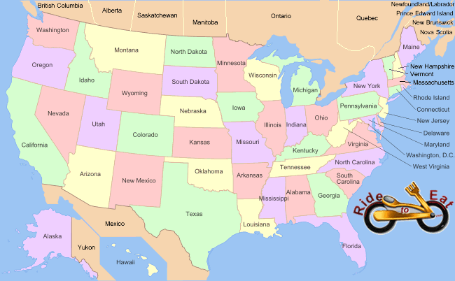
Steve, I can’t get past this page. The map page that is. I’d like to see the state page for locations.
Thanks, Cliff